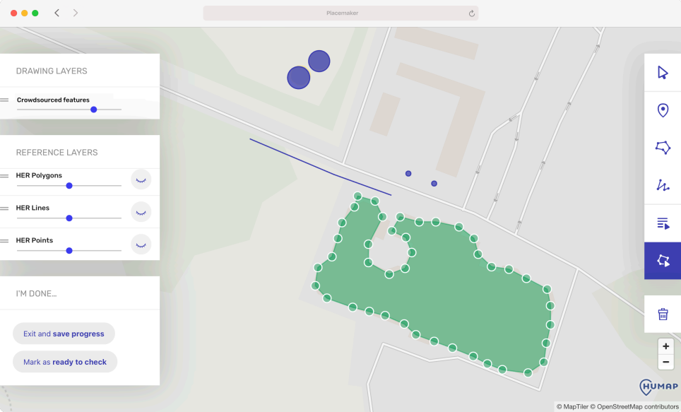
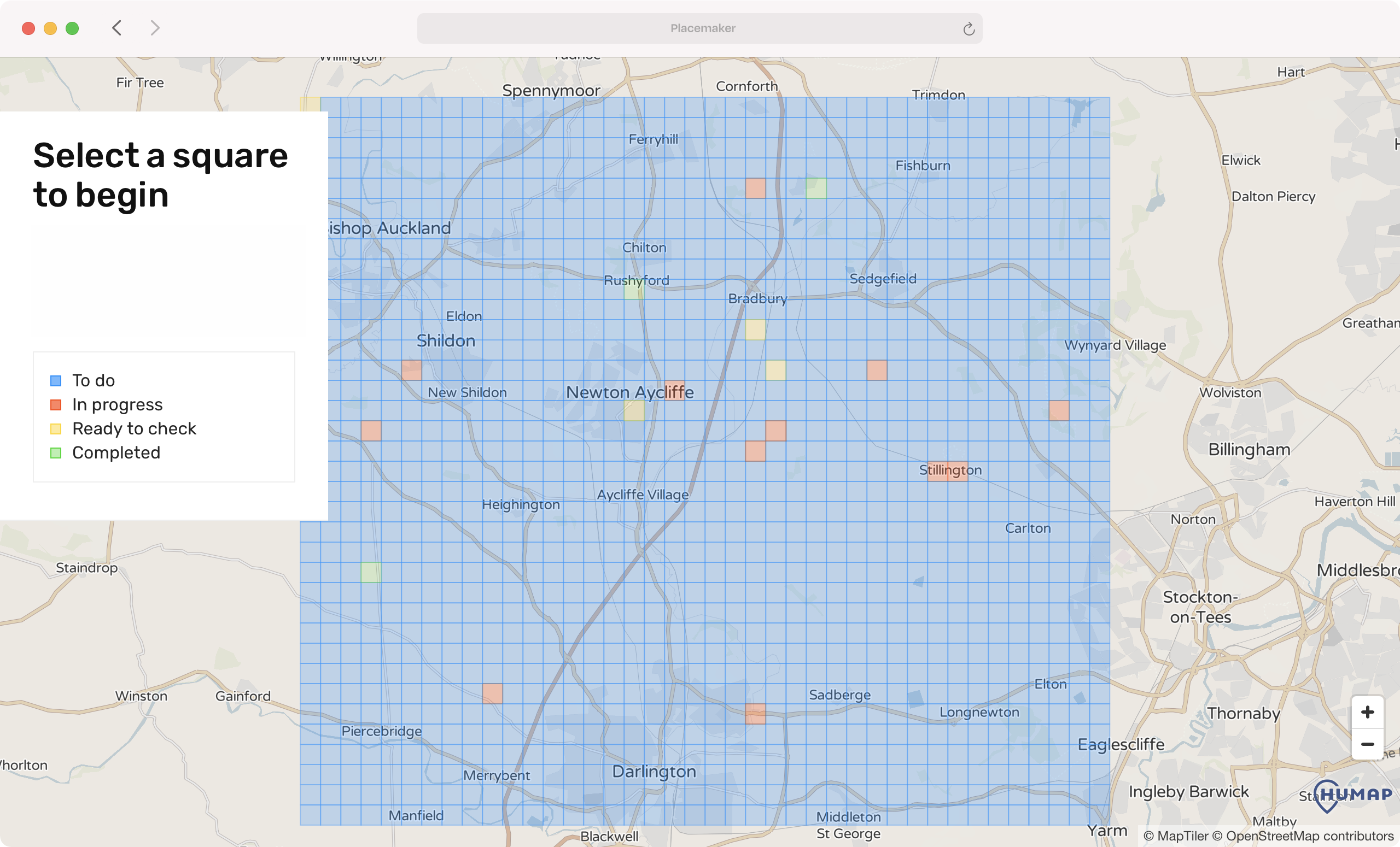
Placemaker is a no-code Public / Participatory GIS (PGIS / PPGIS) tool we built for citizen science and crowdsourcing. No complex GIS interface, just an easy and intuitive experience.
Currently being used by Digventures, the app simplifies the process of manipulating existing place data in the context of an interactive map.
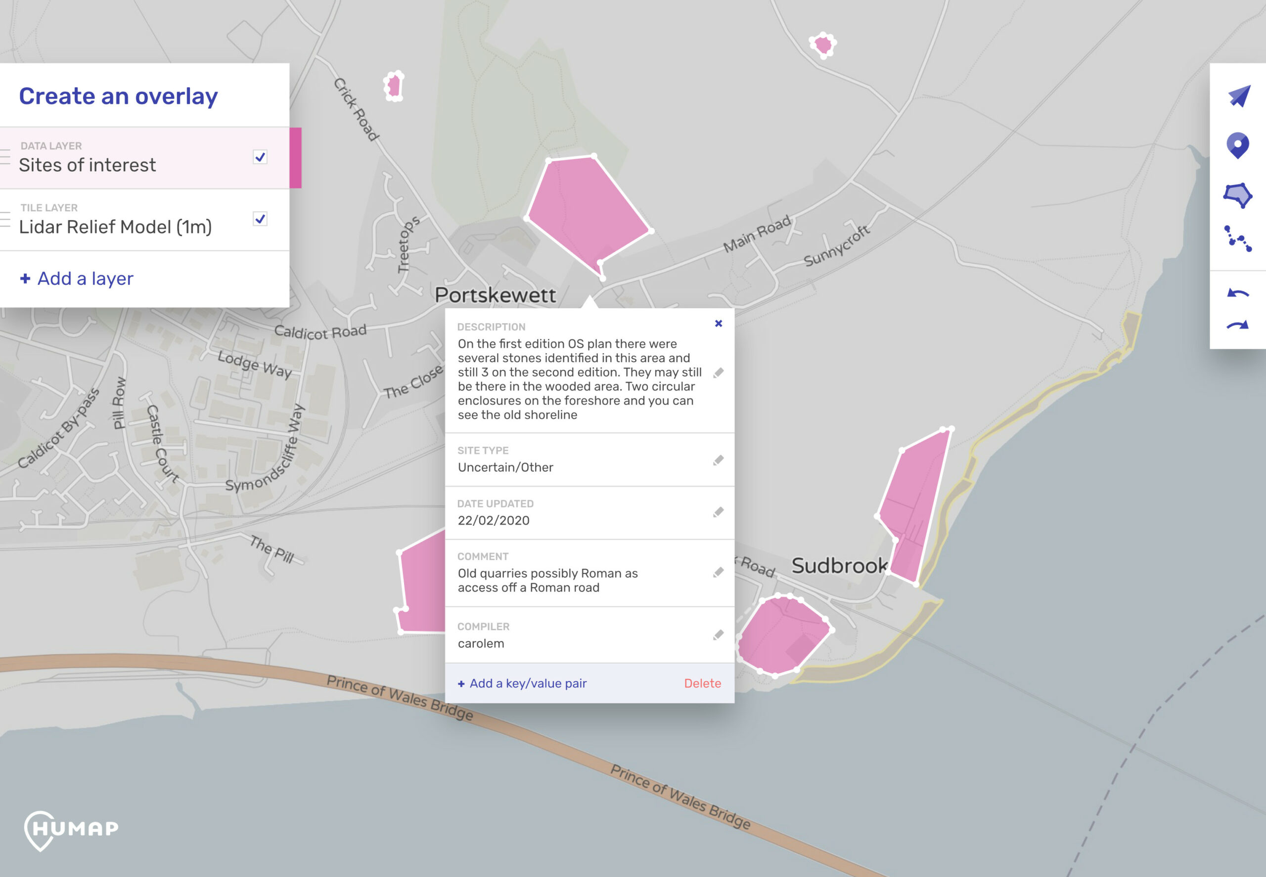
Point, vector, polygon data can be created or edited, as well as the associated metadata for each.
Want to see it in action? Check out our archaeology use case.


