Invite communities to participate in your project
Generate, publish, and share your research on a map
Share your collections with a wider audience
Transform primary sources into products that engage
Give students the tools to explore, reflect, and tell stories that matter
Generate data and present your findings
Crowdsource actionable data at scale
An introduction to core geospatial skills
Platform documentation, tutorials, and videos
Need to ask a specific question about your project or something map related?
Recent news and blog posts about projects, the platform, and the industry
A living list of digital humanities, GLAMA, and GIS events
Everything you need to know for your project funding application
Inspiration for your next project
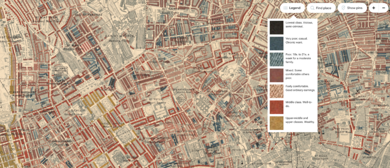
Booth's magnum opus social study of London, digitised and mapped.
Áine Ryan and the Gaelic Athletics Association's interactive exhibit crowdsourcing the history of an indigenous Irish sport.
Explore the cultural, political, and religious networks of Renaissance Europe through the lens of Ludwig Senfl.
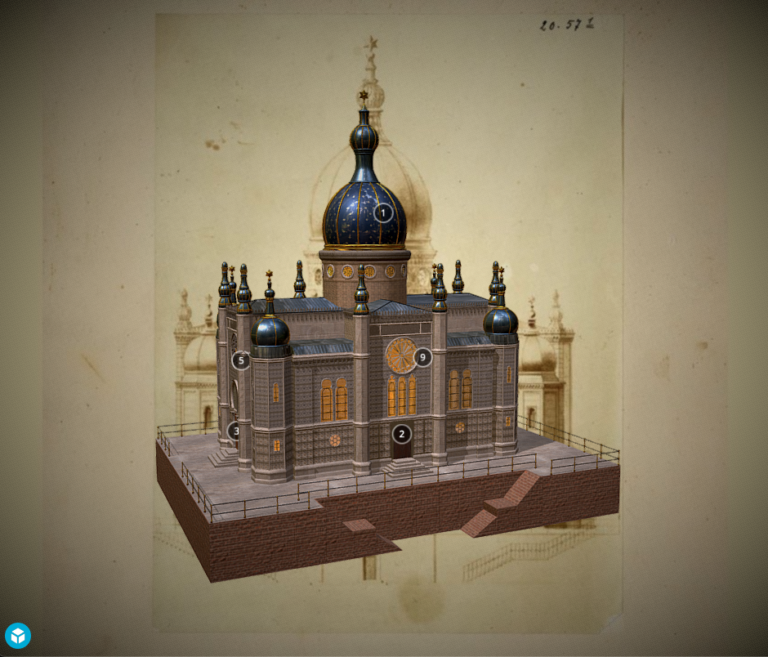
Europeana's EU-wide exhibition of 3D cultural artefacts, contributed by partners across the continent.
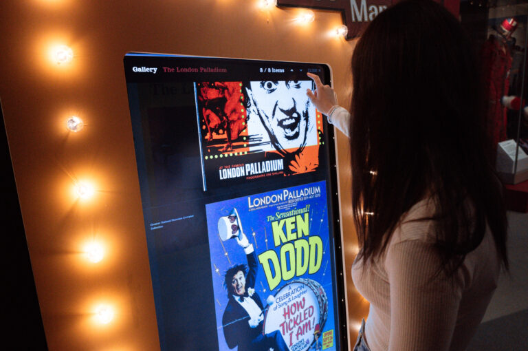
The Museum of Liverpool created an entire exhibit dedicated to a legend of Liverpudlian comedy, Sir Ken Dodd. We made a map for it!
Dive into North Eastern Jewish Heritage with Tyne & Wear Archives & Museums and their partners.
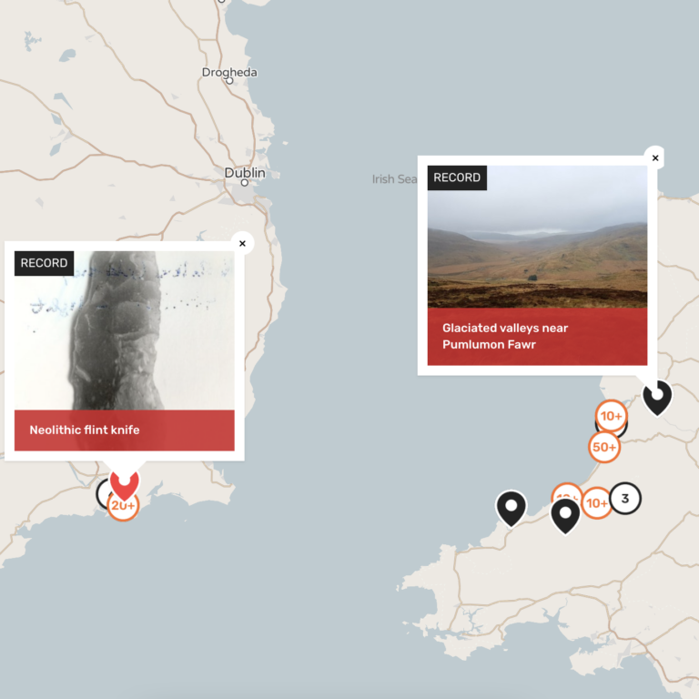
The Portalis team is searching for evidence of Ireland’s first settlers, the routes they took to get there, and their fate once they arrived…
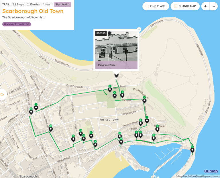
A collaborative project between Coventry University and Scarborough Museums & Galleries, the Scarborough Atlas lets you explore this iconic seaside town from anywhere in the world.
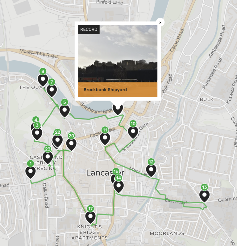
Led by the University of Lancashire and partners, the Lancaster community is coming together to reexamine the legacy of their city.
The Association of Jewish Refugees' digital resource that blends oral history with archival storytelling.
Award-winning digital publisher AM Digital is creating some amazing things with Humap.
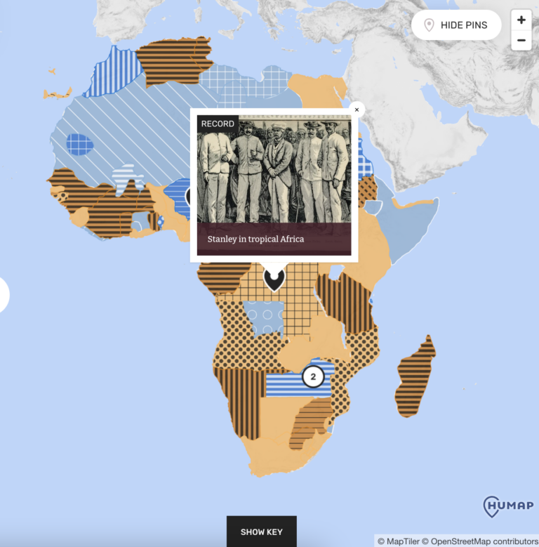
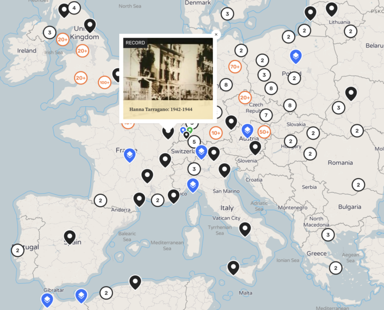
The world's oldest Holocaust-era archive is now globally accessible through The Refugee Map.
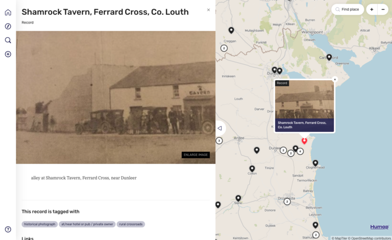
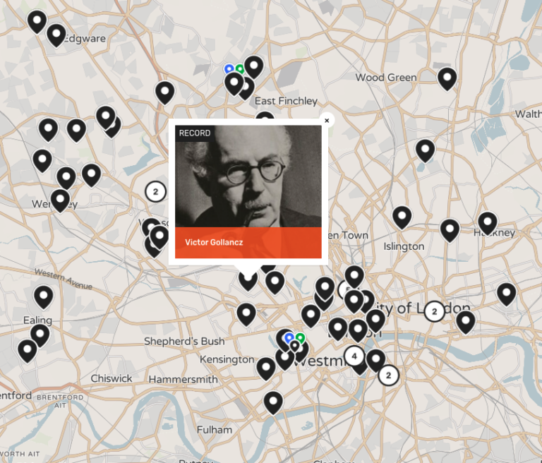
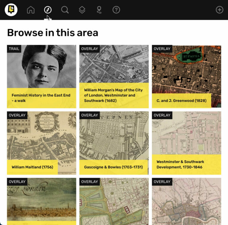
Join over 6,500 volunteers in mapping London's past and present.
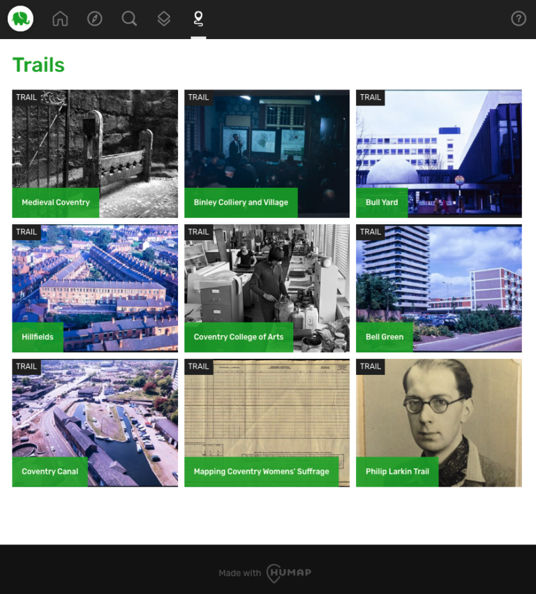
From medieval monarchs to modern day stars, explore Coventry's history like never before.
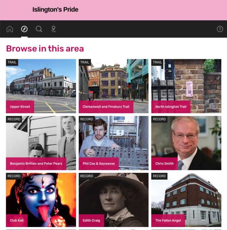
Islington's LGBTQ+ past and present reimagined as a new digital archive.
Learn how Humap fits with your project in this 5 minute video
Book a demo with us, and we'll activate a project for you
Get in touch via email or telephone