Skip to content
  • Use case

Preserve, generate, publish, and share your research with Humap

A screenshot of records on the Layers of London Cultural heritage map

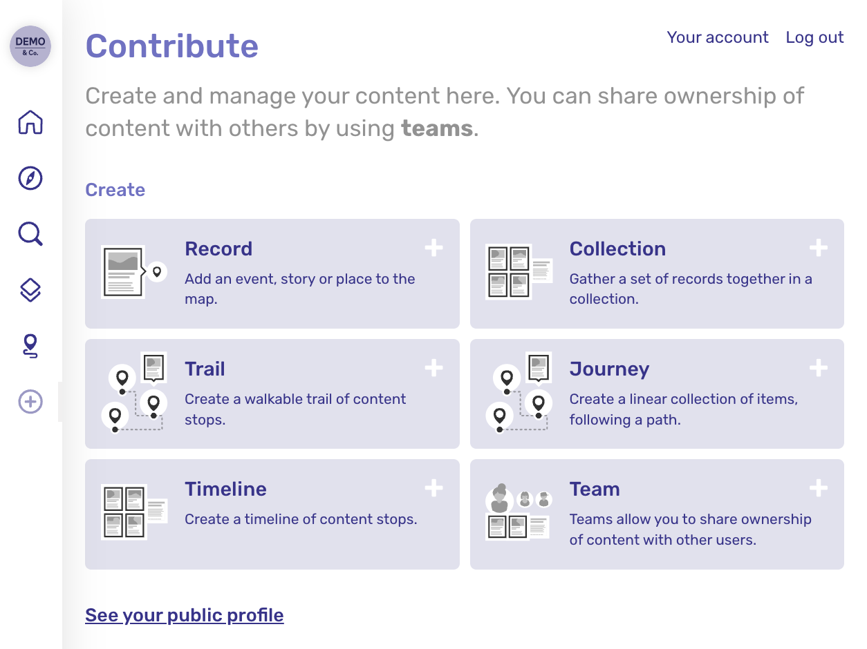
Give your research the platform it deserves.

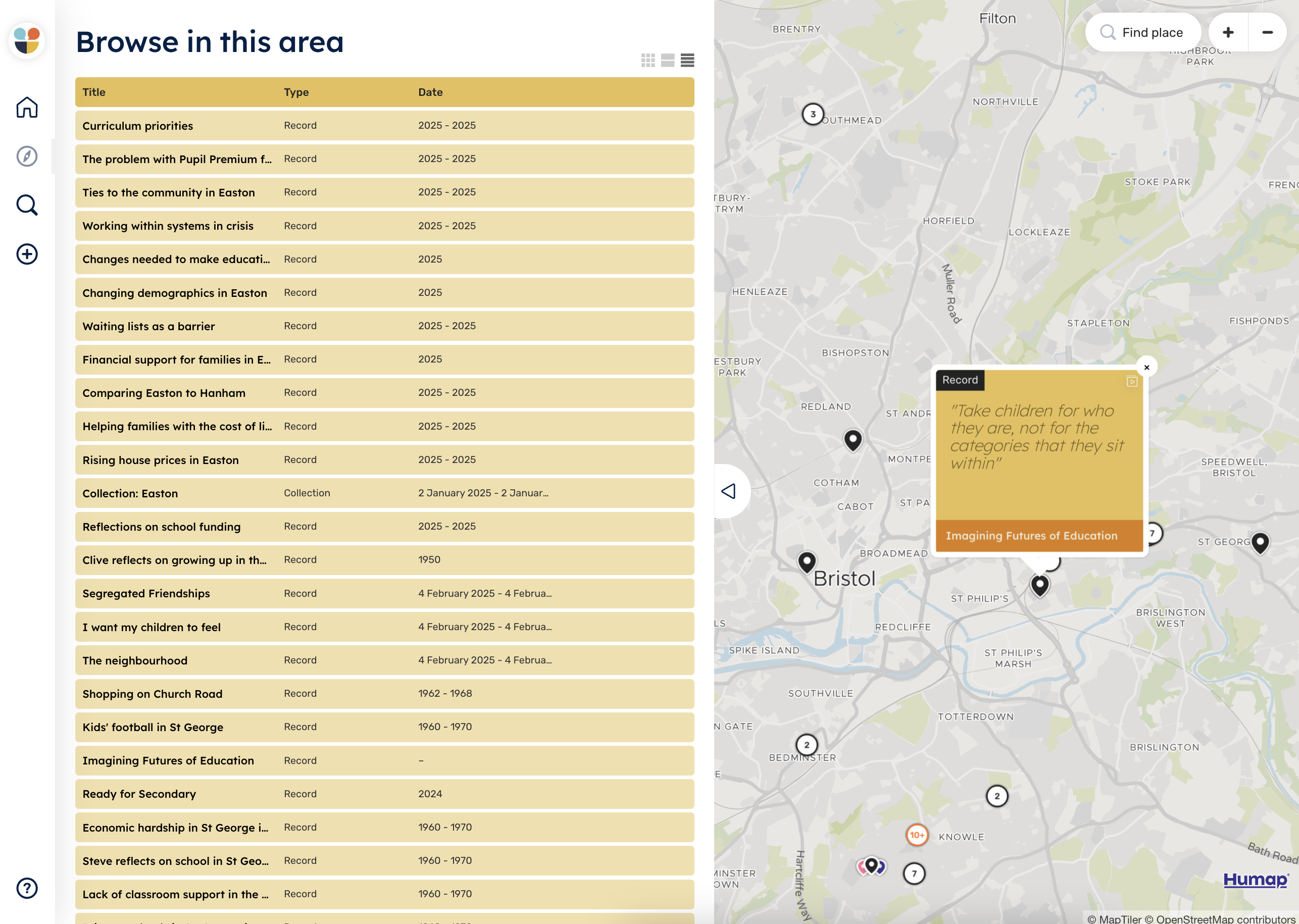
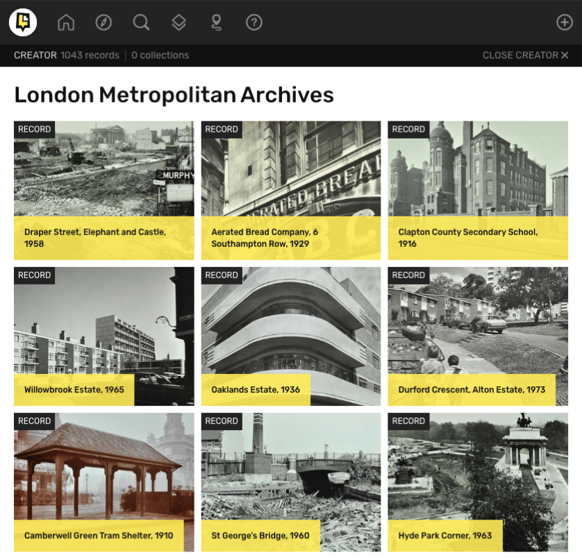
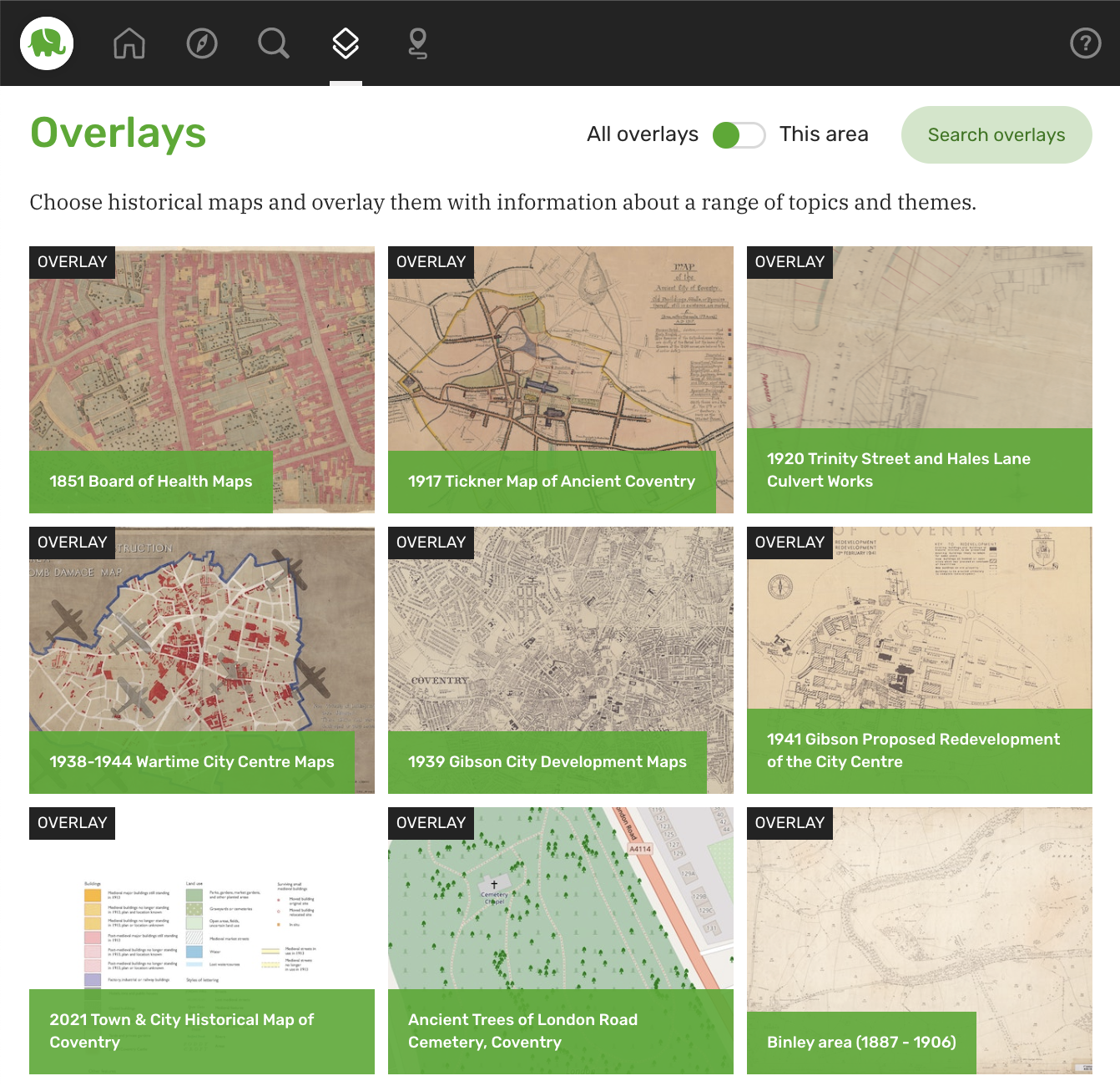
Whether you’re mapping oral histories, visualising historical census data, or experimenting with participatory GIS, our platform is built to support the complexities of interdisciplinary digital research. 

Academic research deserves more than a static PDF or a website that disappears when the funding runs out. With Humap, your work stays accessible, shareable, and adaptable — in the classroom, in the community, and for the future.

Planning a grant-funded project? Our [Bid Kit] makes it easy to include Humap in your application.

"I’d recommend Humap as a unique and interactive way to visualise your project to the public and organisation"
Ian Dunne South East Technical University

Academic research projects on Humap

  • Repair-Ed, University of Oxford: gathering oral histories of injustice in education in Bristol with a view to creating a more reparative future for schooling
  • Amicable Contributors, University of Cambridge & Aviva Insurance: crowdsourcing spatial data and training an AI transcription tool for historical documents
  • Portalis, University of Wales Trinity St David & partners: an international collaboration between Welsh & Irish institutions looking for signs of the first Wales-Ireland crossing
  • Senfl’s World, University of Music & Performing Arts Vienna: mapping the life and times of Renaissance musician, Ludwig Senfl
  • Tampa Through Time, University of Southern Florida: mapping USF’s special collections to increase visibility for researchers
  • Mappa, University of Exeter: mapping Cornwall’s culture, economy, and future
  • Layers of London, Institute of Historical Research: a collaborative platform for sharing historical maps and special collections with the world – and inviting everyone to take part
  • Ethical Digital Public Histories, University of Liverpool: transcribing and mapping historical records of incarceration in the US county of Georgia
  • Charles Booth’s London, London School of Economics: a new digital exhibition showcasing the life work of one of the UK’s earliest sociologists

Image from Repair-Ed

A screenshot showing pins on the Repair-Ed map, and the titles of the pins in the Information Tray on the left.

How researchers use Humap to enhance, publish, and preserve their work

Academics use Humap to bring their research to life by creating interactive, map-based digital resources. Whether the focus is ethnographic fieldwork, analysing cultural heritage, or crowdsourcing spatial data, Humap enables scholars to present their work in a format that’s spatial, collaborative, and publicly accessible — without needing a background in Geographic Information Systems (GIS) software or web development.

Image from Layers of London

A screenshot of the London Metropolitan Archives' page on the Layers of London academic research map

Sustainability and longevity

Unlike custom-built websites that become obsolete after a few years, Humap is maintained and updated regularly. Projects hosted on the platform continue to work — and look good — long after the grant and/or the project ends

To demonstrate, the University of Coventry’s Coventry Atlas and the University of Wales Trinity St Davis (and partners!) Portalis project are both in Legacy Mode. 

Image from Coventry Atlas

A screenshot showing some of the overlays available on Coventry Atlas, which can be used as an academic research map
A photo of Ben Kyneswood
"Coventry Atlas is used by teachers, historians and local people looking to get out and know their city: we’re therefore helping with placemaking in the city, giving people a feel for where they are from and an opportunity to reframe local history their way."
Dr. Ben Kyneswood Director of Coventry Digital (University of Coventry)

Collaboration and contribution

Contribute is our user-generated content feature. With it, researchers can invite collaborators, students, or members of the public to contribute stories, sources, or media to a single shared map website.

This supports participatory and co-produced research models — increasingly important for funded projects aligned with public history, citizen science, or decolonial approaches.

Contributors can create Records, Collections, Walking Trails, Journeys, Timelines, and Teams. You can invite the entire world to sign up, as Layers of London has done, or just a few selected participants, like the University of Pennsylvania’s Mapping Philadelphia Jazz Legacy project.

A screenshot of the example Contribute dashboard
The Layers of London logo
Layers of London “provides the infrastructure and platform for people to present the stories of their own heritage that have gone unrecorded - these are shown alongside academic research and historical artefacts.”
Layers of London: Mapping the Journey Evaluation Report

Supporting multimedia data and mixed methodologies

Humap makes it easy to link research outputs — from archival images and documents to audio interviews, video, and interactive timelines — to the places they relate to.

This is especially valuable for projects in digital history, archaeology, and anthropology, where geography is part of the story. The medium is the message, and adapting research to a spatial format is inherently interdisciplinary. 

Text, audio, video, Sketchfab 3D embeds, IIIF, historical maps, and modern spatial data can all be enjoyed on Humap.

A pin for the record "Harry Hansberry's Clam House", from the Humap instance of one our early career researchers. This project uses an interactive map for academic research that explores black/queer culture in interwar London and New York.
A picture of Idroma Montgomery
“The Humap team have been fantastic and incredibly supportive, making the learning process simple and painless.”
Idroma Montgomery PhD candidate at Birkbeck, University of London

Publishing and dissemination

For researchers looking to meet impact requirements or make their work accessible beyond academia, Humap offers a clean, engaging way to publish online.

Maps can be embedded into university websites, included in research portfolios, or presented at conferences or to a lecture hall. No login is required to explore published maps, making them ideal for outreach and community engagement.

Image from Charles Booth’s London

A screenshot demonstrating a custom search page

Easy onboarding, no coding or GIS experience required

A Humap website is created with the click of a button, and institutional partners have the capability to create and manage maps without input from us. Curating and populating the map is done through a simple content management system with extensive documentation and tutorials.

There are no fiddly plugins or downloads required. Humap makes mapping easy, without adding pressure to in-house GIS teams or being reliant on web development teams.

What's next?

Video tour

Learn how Humap fits with your project in this 5 minute video

Watch now

Get started

Book a demo with us, and we'll activate a project for you

Book demo

Contact us

Get in touch via email or telephone

Contact us