Launch a map project in an instant
Log in, name your project, select your features, and get creating!
Log in, name your project, select your features, and get creating!
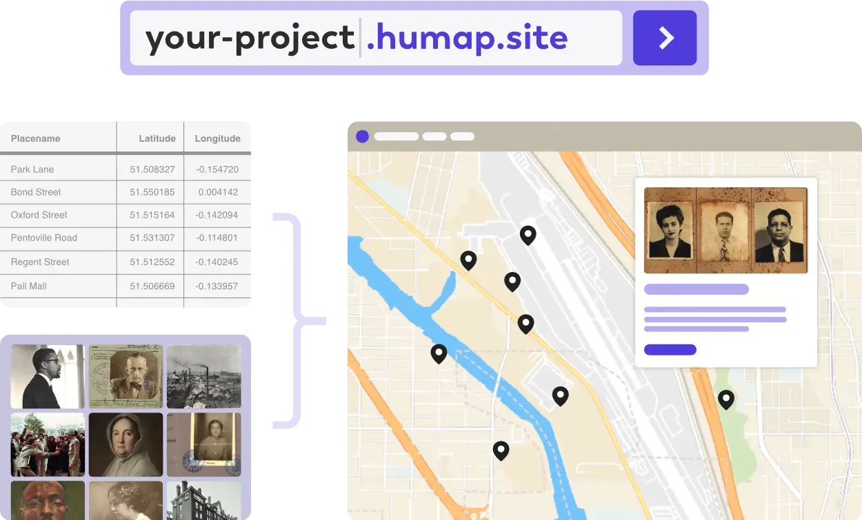
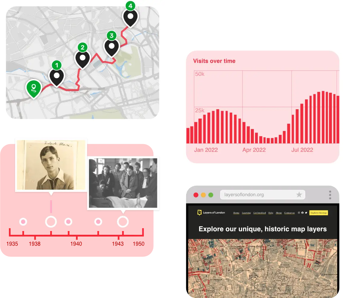
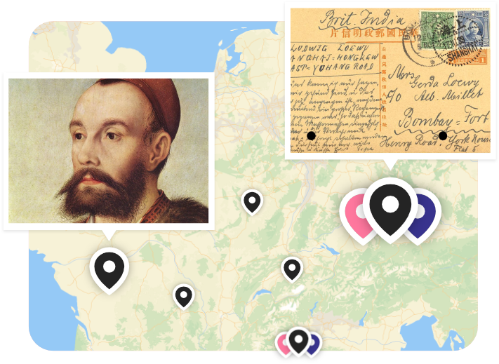
Records, collections, timelines, trails, journeys, and more; Humap has everything you need to create amazing maps that tell your story and wow your audience.
Transform data into multimedia experiences for your users.
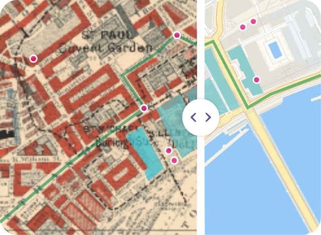
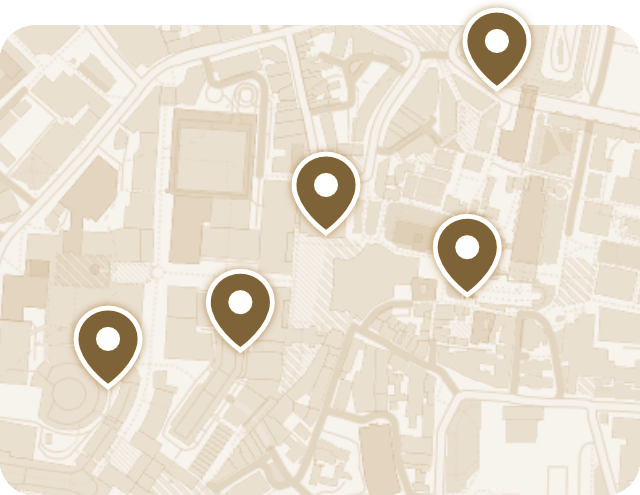
Delight your audience with beautiful historical maps and spatial data.

Tell stories across space and time.
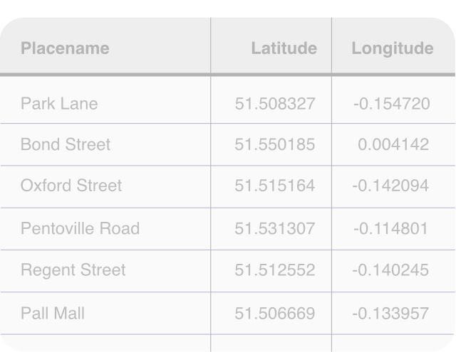
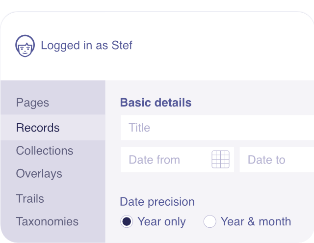
Import hundreds or even thousands of records at once.
Give your audience access to your project, allowing them to create their own content and teams.
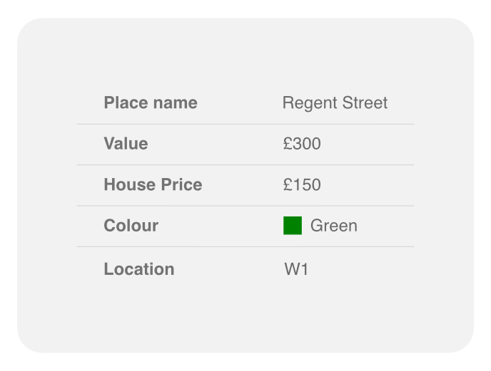
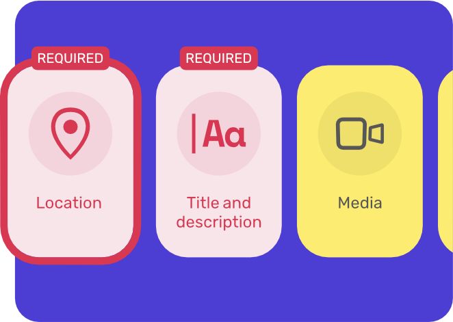
Create data fields and taxonomies based on your project, keeping your information architecture intact across platforms.
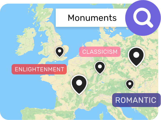
Find exactly what you’re looking for with free text search.
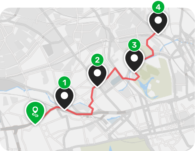
Go for a walk with our trails feature and enjoy Humap on-the-go.
Create beautiful webpages and content easily, no coding required.

Showcase high-quality videos, 3D objects, images, and media with IIIF support, allowing users to zoom in and explore every detail.
Humap is currently available in Arabic, English, French, German, Brazilian Portuguese, and Spanish. Other languages will be added on a per project basis.
Humap Legacy Mode keeps your map alive after the project has ended.

Manage multiple projects and users from our central subscription platform.
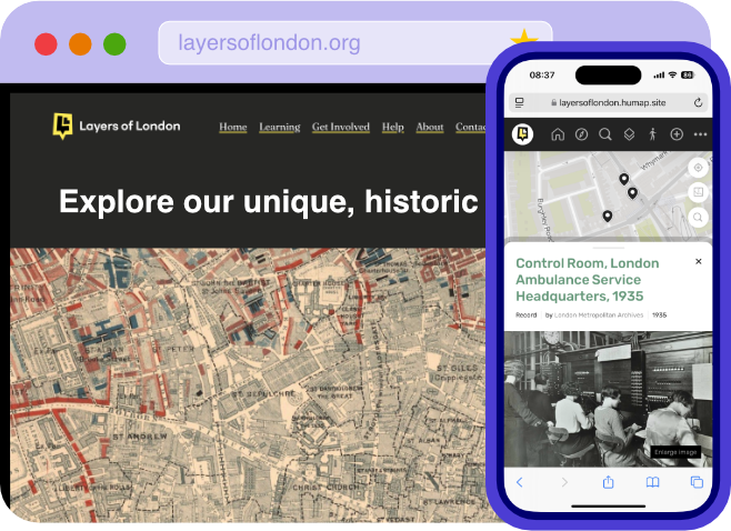
Desktop, kiosk, tablet, mobile – Humap works across all devices.