Skip to content
  • Case study

The Gaelic Athletic Association: Irish Handball Alley

A screenshot of the Gaelic Athletic Association's Irish Handball Alleys project

Who are they?

The Gaelic Athletic Association (GAA), Ireland’s largest sporting organisation, is dedicated to the promotion and conservation of indigenous Irish sports. GAA Handball are the subdivision of GAA which organises handball specifically, and in 2024 it will be marking its 100th birthday!

Áine Ryan, the principle researcher for this project, has been documenting outdoor handball alleys and their multipurpose use for about 17 years.

Áine built a rich archive of data geo-locating the sites of handball alleys, and in 2024 she partnered with GAA Handball to create the Irish Handball Alley interactive resource.

Full press release

Pictured right: browsing the map on Irish Handball Alley
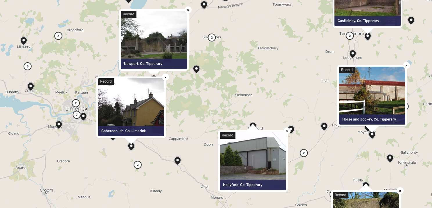
Pictured above: records on the Irish Handball Alley map

A screenshot of The Gaelic Athletic Association's Irish Handball Alley project

What was the challenge?

Áine’s original website was built on an old website provider, and she was looking for a new place to present the data she had already gathered and enable the public to upload a range of information easily and without delay.

As much of her research is based on alleys specifically, there was a clear spatial element and she began exploring ways to represent the data on a map to make it more accessible than a regular blog format would allow.

The new platform would need to be multimedia and have a way of labelling certain pieces of content with search terms and tags, to make them easy to find as well as to allow Áine to present spatial patterns in the distribution of the alleys (the Collections) that explain the emergence of this building type. It also needed to display data spatially, but not require extensive experience of Geographic Information Systems (GIS) software.

As Áine’s project picked up steam the GAA became interested in supporting and adding a crowdsourcing element, too.

curated collections on the Irish Handball Alley interactive heritage map

A screenshot of The Gaelic Athletic Association's Irish Handball Alley project

What was the result? 

The map launched to the public on the 4th October, 2024. At time of launch the map contains 885 records and 14 collections, and the crowdsourcing section of the project has only just began…

Pictured right: the Parochial Halls and Primary Schools collection on Irish Handball Alley

A screenshot of The Gaelic Athletic Association's Irish Handball Alley project

Why Humap?

Áine’s project began on our individual tier – a flexible and cost-effective way of putting lots of multimedia data on a map that’s no harder to use than a basic website creator. In no time at all she was able to create a one-of-a-kind resource for handball history.

Our Contribute system lets users create content on Humap, and the project team used this to gather information about handball history from the public. They needed a crowdsourcing system that had spatial capabilities to it, but wouldn’t scare away any users with complicated GIS interfaces.

Pictured left: the Shamrock Tavern, Ferrard Cross, Co. Louth record on Irish Handball Alley

A screenshot of The Gaelic Athletic Association's Irish Handball Alley project

What's next?

Video tour

Learn how Humap fits with your project in this 5 minute video

Watch now

Get started

Book a demo with us, and we'll activate a project for you

Book demo

Contact us

Get in touch via email or telephone

Contact us