Skip to content
  • Case study
The London School of Economic's Charles Booth Map

Who are they?

Founded in 1895, the London School of Economics and Political Science is one of the United Kingdom’s most prestigious research institutes.

The school specialises in economics, politics, and other social sciences, and is a member of the University of London.

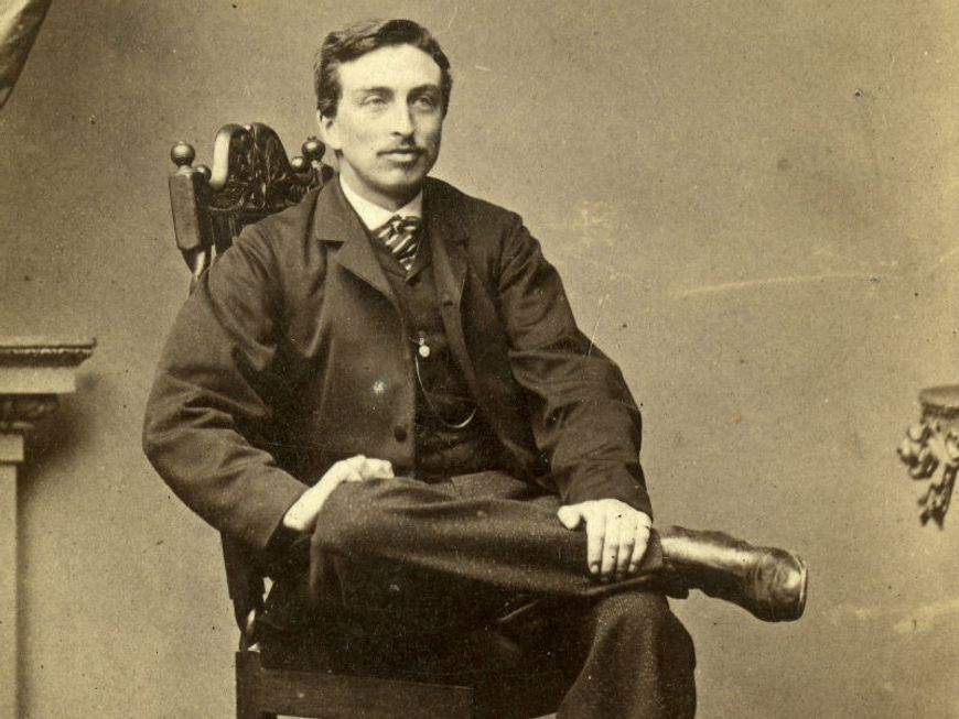
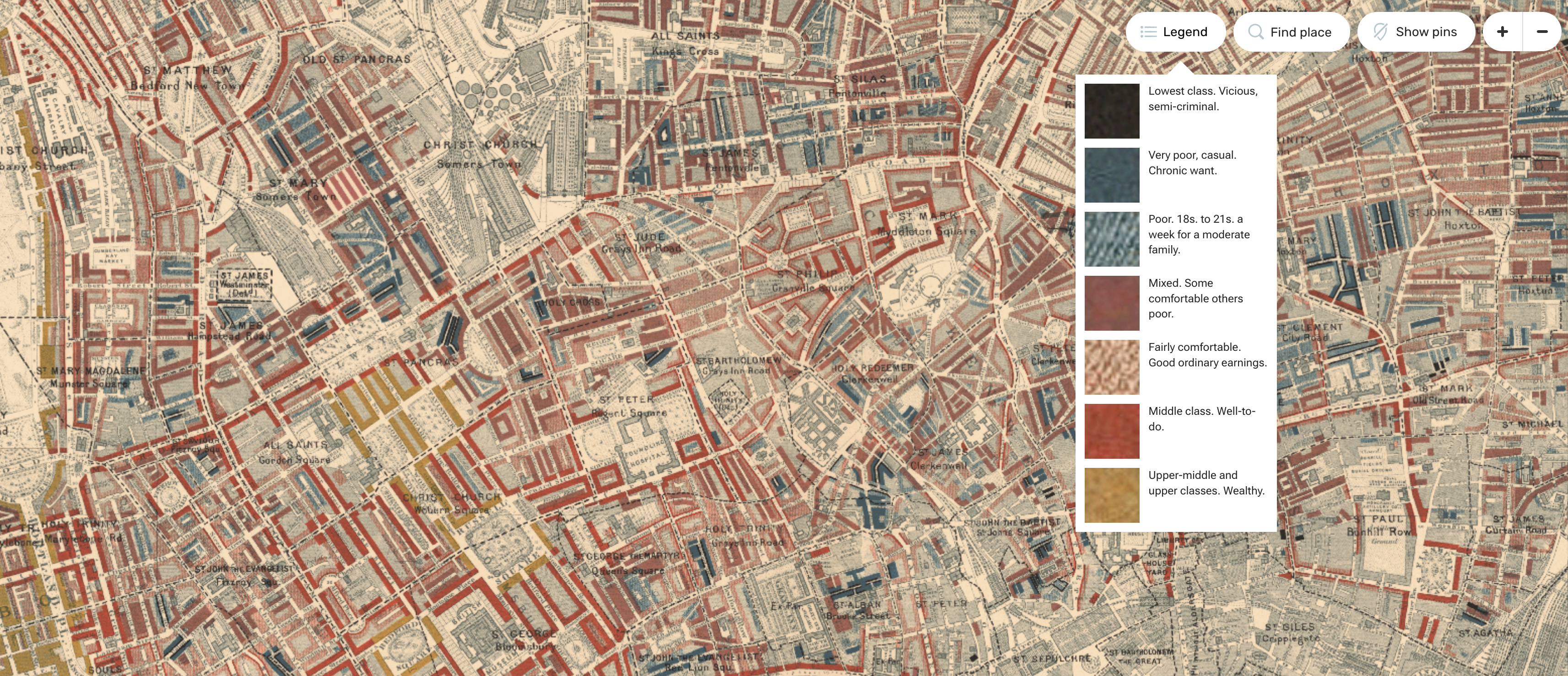
LSE is also the home of the works of Charles Booth. Charles Booth (1840-1916) was a wealthy Victorian gentleman deeply concerned with the urban poverty he saw in London.

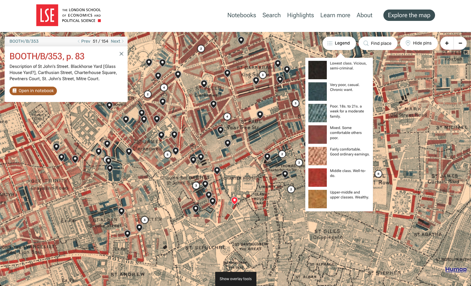
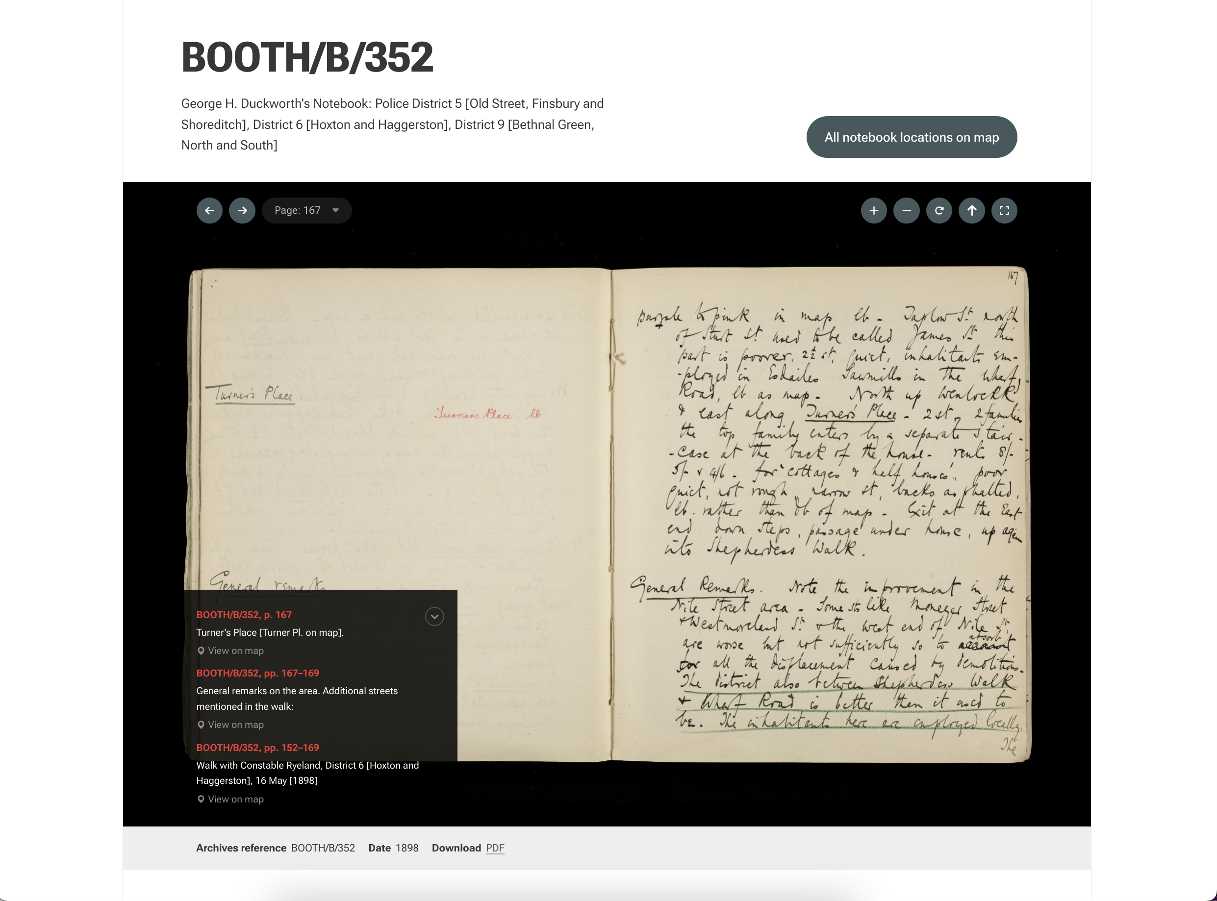
He funded and executed an extremely detailed social study of the life of the London poor, beginning in 1886 and resulting, in 1903, in the publication of “Life and Labour of the People in London” and the iconic Charles Booth map of poverty in London.

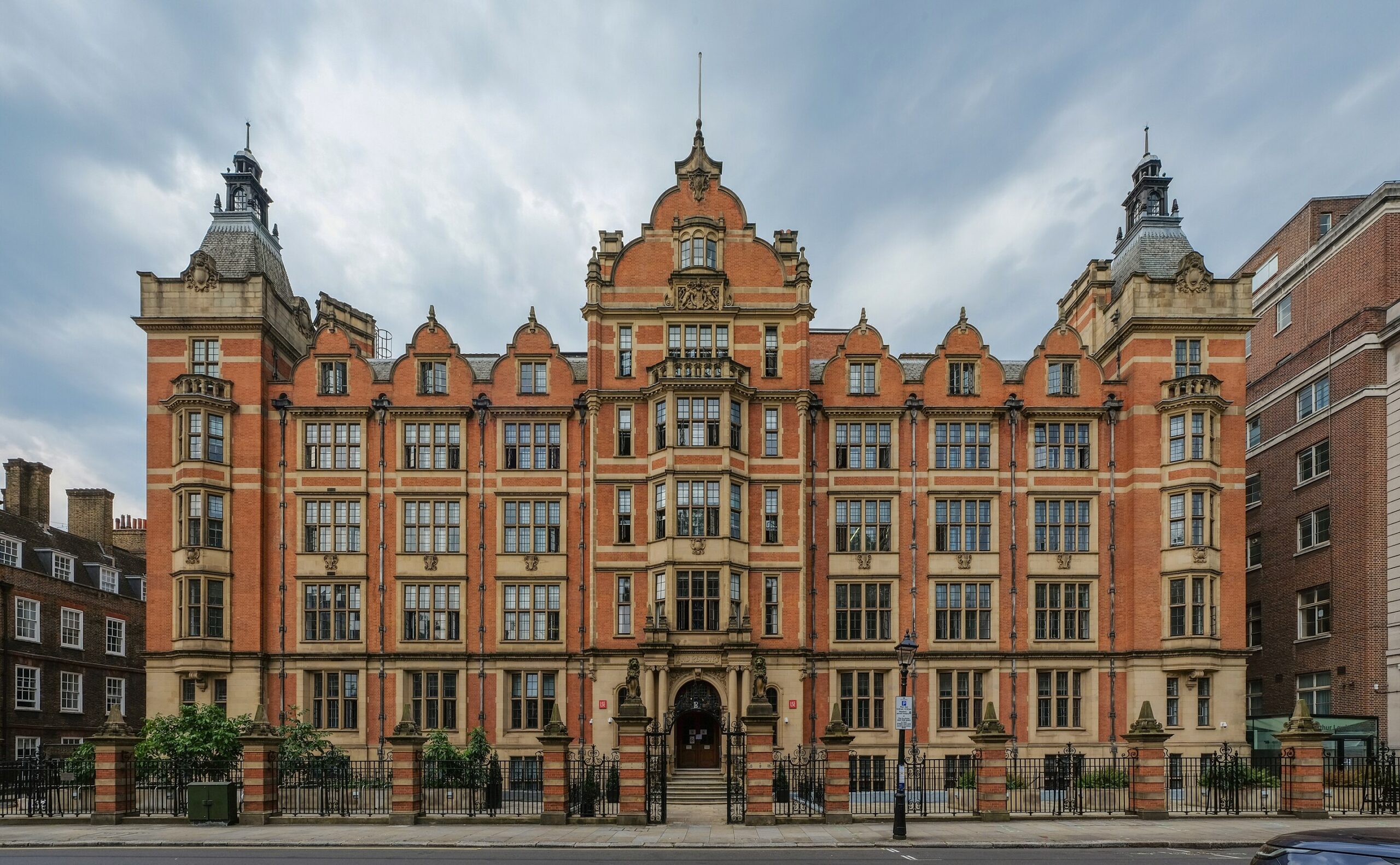
Pictured right: The Sir Arthur Lewis building at the London School of Economics

Header image: Charles Booth’s Poverty Map

The Sir Arthur Lewis building at the London School of Economics

What was the challenge?

The Charles Booth archive at LSE holds 450 volumes with thousands of pages. Making this data accessible to academics and the public requires advanced features like structured vocabularies,  high-resolution storage for IIIF delivery, and a new website to house it.

The team at LSE wanted to redesign the website for 2024. The centrepiece of the new site would be Booth’s iconic colour-coded map of poverty in London, surrounded by his digitised, transcribed notebooks in crisp IIIF.

Pictured left: a young Charles Booth

Charles Booth

What was the result?

Charles Booth’s London launched in late 2024, containing several hundred of Charles Booth’s notebooks available in stunning IIIF and a geo-rectified, digital reimagining of his iconic colour map.

The website is both a digital exhibition and a one-of-a-kind learning resource for historians, sociologists, or anyone with an interest in the lived experience of Victorian London. Charles Booth’s London takes vast amounts of complex data, and curates it into immersive, fun bitesize pieces that make the collection accessible to a far wider audience.

This resource connects Victorian London to our contemporary present, inviting users to experience the social fabric of a city still defined by the social structures and inequalities Booth dedicated his life to understanding.

Pictured right: Charles Booth’s map of poverty in Victorian London.

A screenshot of the map interface of Charles Booth's London

Why Humap?

The Charles Booth Map of London is one of many historical maps available via Layers of London, a project from the Institute of Historical Research (a fellow member of the University of London). Humap is the platform behind Layers of London, so the team at LSE were familiar with our work in creating mapping platforms for the humanities.

We bid for the contract and won, and we couldn’t be happier with the new Charles Booth website.

Most of the necessary features were already a part of Humap: we’re an interactive map company, we have IIIF embeds, our own website creator, and the GIS expertise needed to bring all of these things together.

Pictured left: Notebook Entry 352 in the IIIF viewer

The London School of Economic's Charles Booth Map notebook entry 352

What's next?

Video tour

Learn how Humap fits with your project in this 5 minute video

Watch now

Get started

Book a demo with us, and we'll activate a project for you

Book demo

Contact us

Get in touch via email or telephone

Contact us