Geospatial storytelling is the art of using interactive maps to tell stories.
Why does it work?
It’s harder than ever to stand out online, and people need new ways to consume information.
Whether you’re visualising complicated statistical data or curating a collection of London’s strangest air vents, a geospatial storytelling platform will enable you to stand out from the crowd and create a resource people remember.
Geospatial storytelling turns huge amounts of information into bitesize, multimedia-enabled slices of content that keep the user engaged. Scrolling through a website is boring
How does it work?
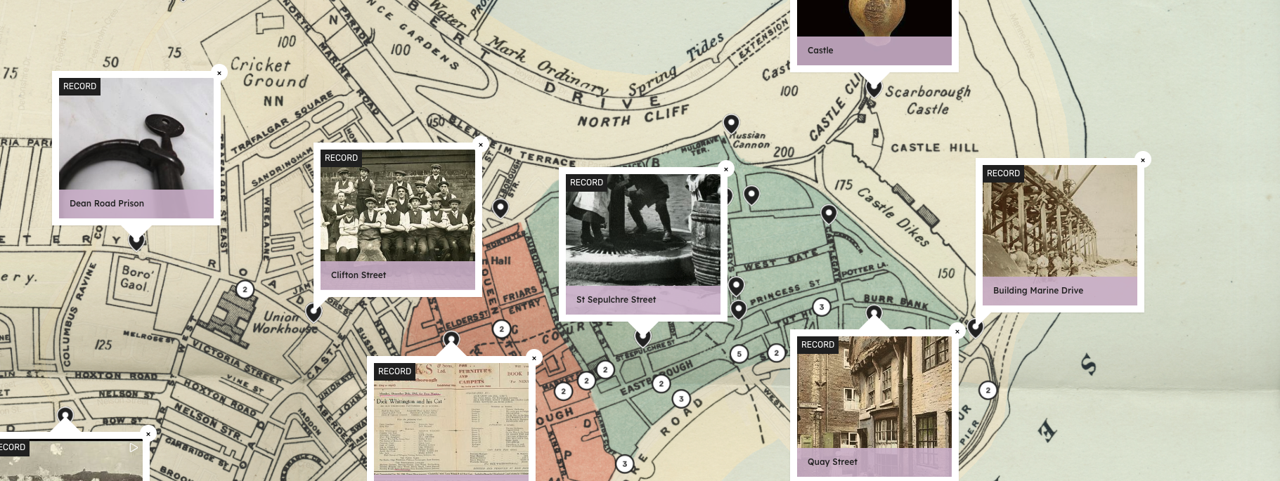
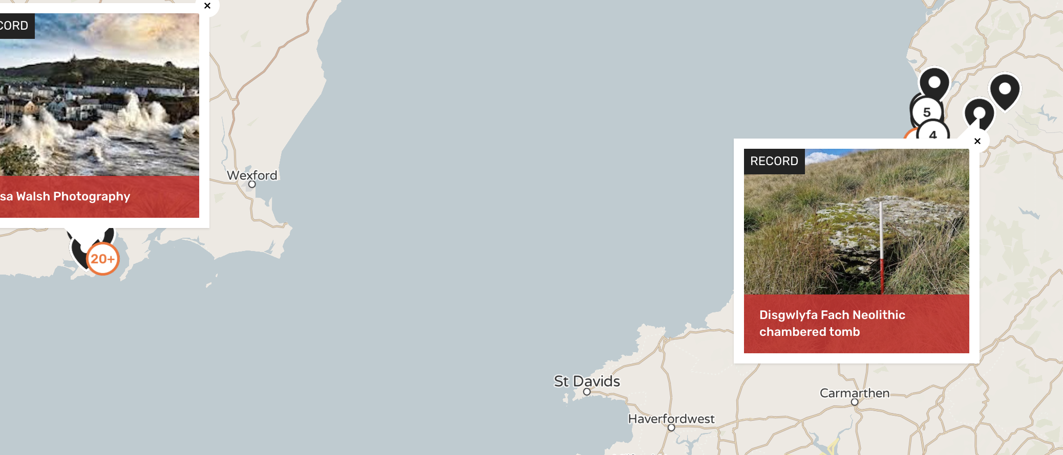
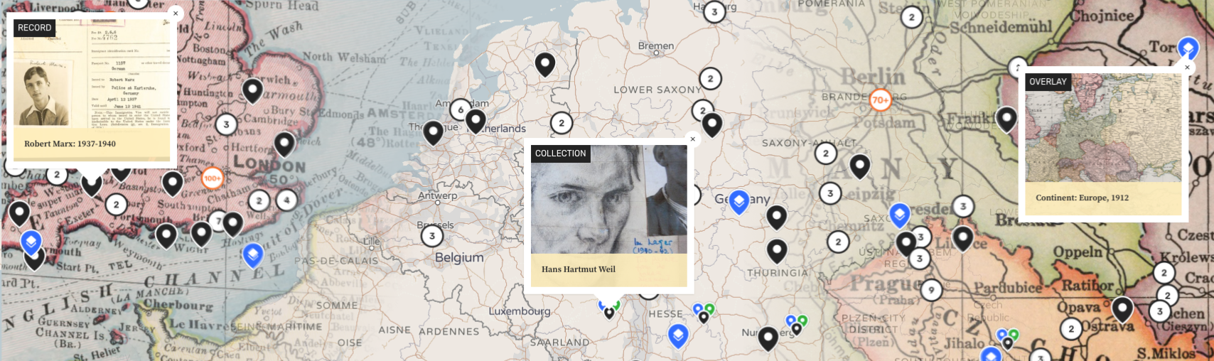
Content is reimagined as records, pinned to the map, and made findable with custom tags and search terms. Records are multimedia-enabled and can be organised and curated into collections and walkable trails.
Add overlays of modern data or historical maps for flavour, and curate quickstarts, highlighted themes, and collections. Invite your audience to participate with user-generated content and invite partner institutions to co-curate their own records and collections on your map. You can find a full list of our features here.
Humap’s platform empowers our clients to create sharable, clickable digital assets and resources that maximise impact and minimise cost. Because we handle hosting and maintenance, our clients can focus on what really matters: the human stories at the heart of their content.
How are our clients using geospatial storytelling?
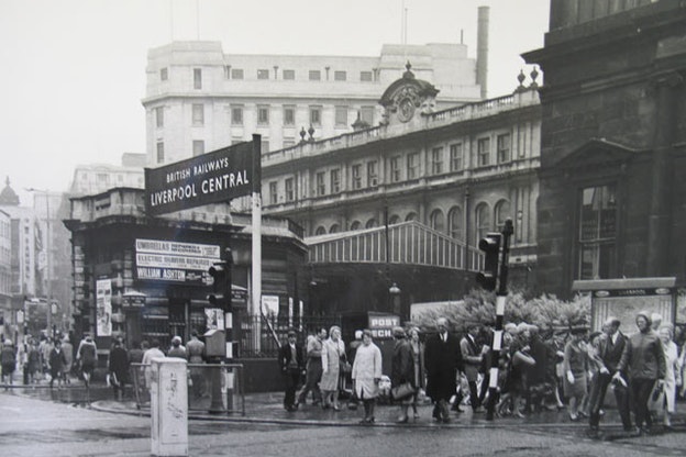
- The Museum of Liverpool is mapping the life of comedy legend Ken Dodd
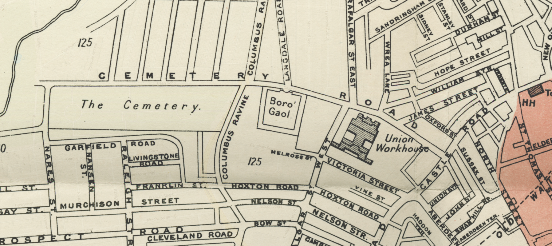
- Scarborough Museums & Galleries’ Scarborough Atlas is bringing local history to life
- Lancaster Priory & partners are uncovering Lancaster’s hidden links to the Transatlantic Slave Trade
- The University of Wales Trinity Saint David & partners are charting the earliest journeys between Wales and Ireland
- AM Digital is creating interactive learning experiences with Humap
- The Association of Jewish Refugees has created the UK Holocaust Map, a resource that explores Britain’s relationship with the Holocaust.
- The Wiener Holocaust Library’s Refugee Map digitises and shares their extensive collection of papers relating to the Holocaust.
- Layers of London are crowdsourcing London’s history through user-generated content and strategic partnerships with museums, libraries, and galleries.
- Islington’s Pride is an interactive map of Islington’s LGBTQ+ history and culture.
- Coventry Atlas showcases Coventry’s heritage and tourist attractions.